I love Google Maps. It’s changed my relationship to cities and space. My spatial perception is poor, so if you asked me to draw a map based on my experience of walking or driving around, we would be out of luck. Now with Google Maps, I understand how streets and neighborhoods connect, and I can figure out the best way to get from here to there–which means as efficiently as possible.
And Google Maps just keeps getting better!
They recently added little transit stop icons (for bus, metro, cable car stops, etc.) which you can see if you zoom in.
- If you click on the icon, it will tell you what bus or train line stops there.
- AND, in some cities, the map will even tell you the near-term schedule!!!! You’ll see it pop up, as in the sample below. Or where there are lots of buses at one stop, you’ll get a list of lines; click on a line, and you’ll see another pop up with a list of schedules.
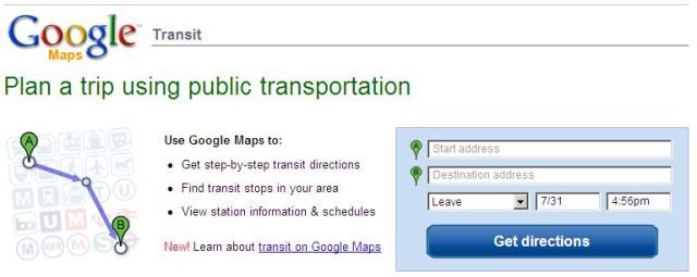
Look here for a list of the cities that have this public transit information: http://www.google.com/transit.
This transit information is very helpful for me, since I know generally where I want to go and what my options are. However, if I were to use the public transit directions tool on the transit page, I didn’t like that I couldn’t limit the options for transit; e.g. no cable car, because it’s expensive. In this case, I would get better information by going directly to Trip Planner, http://tripplanner.transit.511.org.
That said, I think it’s a great asset and definitely better than nothing at all. YAY GOOGLE!
Also, I did a quick check on other big cities, and found these with the basic METRO transit icons: New York City, Boston, Chicago, Washington, DC, Los Angeles, Philadelphia and St. Louis. Hopefully that means they will be coming online soon, too.

